Hoher Sonnblick

 Copia link
 Loris Marin


 1 / 2
1 / 2
Hoher Sonnblick
 Planetmountain
Beauty


By
Loris Marin
Ascent height difference
1500m
Descent height difference
1500m
Height
3106m
Time
4/5 hours
Route
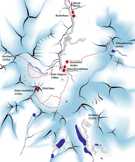
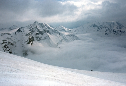
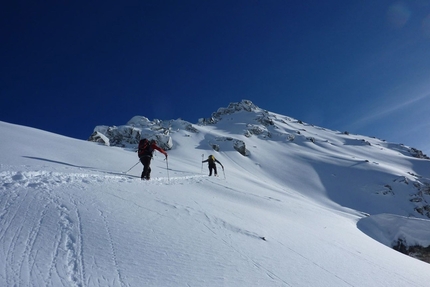
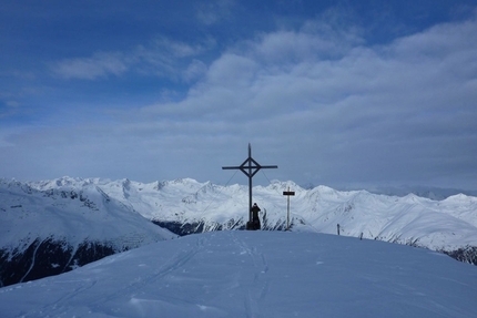
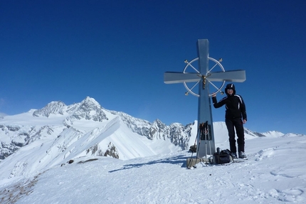
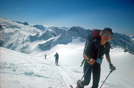
From the Naturfreundehaus at Kolm Saigurn 1598 m ascend south and, shortly after the first slope, turn right past some ruins to the Ochsenkarkees glacier which leads to the Hoher Sonnblick summit at 3106m. The Zittel Haus is located on the summit and, if open, offers a welcome respite after the ascent. An important weather station has been constructed next to the Zittel Haus.
The ascent is always obvious and never dangerous, but look out for crevasses at the beginning and end of the season.
The ascent is always obvious and never dangerous, but look out for crevasses at the beginning and end of the season.
Access
The Goldberggruppe is situated in the Austrian Alps, not far from Spittal. Take the A10 Spittal- Innsbruck motorway and exit for St. Johann and Taxenbach. Continue from here towards Rauris, pass Wörth and on to the end of the road at Kolm Saigurn, from where the itinerary is based. It is obligatory to buy a pass to use the Austrian motorways; this can be bought at any petrol station and must be stuck to the window pane. The skiing area is reached via a toll-road to Kolm Saigurn. The final section to the Naturfreundehaus is reached on foot (20 mins) since the road is closed to traffic. Descent
The descent follows the line of ascent and has no obvious difficulties. In case of fog pay particular attention to crevasses at the beginning and end of the season. Maps/Bibliography
Kompass 1:50.000 f. 50;
Alpenvereinskarte 1:25.000 n°42.
 Comments
No comments yet...
Beauty
By
Loris Marin
Ascent height difference
1500m
Descent height difference
1500m
Height
3106m
Time
4/5 hours
Route
Routes in the same mountain group

Related news
11/12/2000 - Snow Ski-skimountaineering
Goldberggruppe, ski mountaineering in Austria Ski mountaineering routes in the Goldberggruppe, Hoher Tauern, one of Austria's most beautiful and famous ski mountaineering areas.